
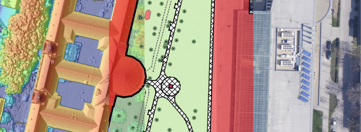
Geoinformatics MSc
Level of the programme: MSc/Level 7 ECTS)
Duration of the programme: 4 Semesters/120 credits
Start of the programme: September of each year
Tuition fee: 3200 EUR per semester
Registered in: EU
About the programme
The aim of the theoretical and practical master’s programme in Geoinformatics is to train geoinformatics experts, researchers and analysts who, using on their basic and practical knowledge of natural sciences, mathematics, informatics and English, are able to cultivate the science of geoinformatics creatively. Based on their training, geoinformatics professionals can interpret spatial phenomena, processes and information related to a geographical location, as well as perform problem-solving, planning, development, operation, management and consulting tasks in the operation of geoinformatics systems, decision support systems and expert systems. Successful graduates can continue their studies and research in doctoral training.
Who is it for?
Our Master's programme is open to students from a variety of educational backgrounds and with different bachelor's degrees. We welcome applications from those with an interest in progressive modern technology, advanced computing tools and methodologies, and interest in addressing environmental-social problems.
While each student will gain experience in world-class spatial data processing, they will also acquire a range of professional and leadership skills that will lay the foundation for a rewarding career in industry and research, applying geoinformatics technologies in practice on a regular basis.
Why is this study programme a good choice?
Geographic Information Management is a specialised, exciting and rapidly evolving branch of Information Technology (IT) that integrates satellite remote sensing, aerial photography and other spatial data such as land use, demographic, economic data to provide reliable and up-to-date information that is essential for the sustainable use and conservation of the Earth's resources. The degree will equip you with the skills and knowledge to pursue an exciting career in addressing global resource management issues.
You will receive a broad and in-depth education in the technical, analytical and research areas needed to succeed in a career as a geoinformatics professional. Our education focuses on identifying problems, selecting and integrating the right technologies to find solutions.
Skills and knowledge outcomes of the programme:
- Complex knowledge of the general geographical, cartographic, planning, mathematical and informatic principles, rules, relationships required for the practice of geoinformatics, especially in the following topics: geographical and spatial data collection at various scales; use of cartographic processes; knowledge of geographical and spatial processes; collection, editing and analysis of spatial data; remote sensing, photogrammetry, geostatistics, modelling, visualization, and geoinformatics system building.
- Comprehensive knowledge and understanding of the key relationships and concepts in the field of geoinformatics, in particular in the following areas: geolocation data collection technologies, 2D and 3D geoinformatics modelling, geovisualization, spatial data infrastructures, geoinformatics programming and application development, vector and raster geoinformatics, digital image processing, web-based geoinformatics solutions, geoinformatics databases, applied geoinformatics systems.
- Comprehensive knowledge of the problem-solving principles, methodology and processes of the planning, development and operation processes of the geoinformatics field, especially in the following areas: database management, Big Data data-mining, primary and secondary data collection, Earth observation, spatial and temporal data analysis, modelling and simulation of processes, network analysis, 3-dimensional modelling, geovisualization, geostatistical solutions, web-based geoinformatics services, spatial services development, geoinformatics programming, development of geospatial applications, open source geoinformatics.
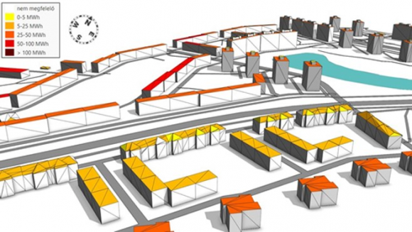
- Knowledge of the specific tools of geoinformatics, ability to apply field survey procedures, data management and analysis, and visualization solutions. Knowledge and use of spatial data collection technologies, available databases and spatial information software, as well as open source and commercial geoinformatics software, cloud-based geoinformatics solutions.
 |
 |
Characteristics of the master’s programme
Disciplines leading to the qualification, professional fields from which the programme is composed (Course/Credits/Semester):
- basics of natural sciences: Geomathematics and geostatistics 5 Cr/S1; Modelling and simulations 5 Cr/S1;
- economic, legal and human knowledge: Space and society 5 Cr/S4; Data protection 3 Cr/S4
- professional knowledge of geoinformatics: Databases 5 Cr/S1; Geo-information
databases 5 Cr/S2; Script programming 5 Cr/S1; Programming for geoinformatics 5 Cr/S2; Spatial data collection technologies 5 Cr/S1; Fieldwork 2 Cr/S3; Remote sensing and Earth Observation I. 5 Cr/S2; Remote sensing and Earth Observation II. 5 Cr/S2; Digital photogrammetry 5 Cr/S2; Digital elevation modelling 5 Cr/S2; GIS analysis 5 Cr/S3; Applied and environmental GIS 5 Cr/S3; Web and cloud based geographic information systems 2 Cr/S3; Open source GIS 4 Cr/S2; Research technology and communications 2 Cr/S3; GIS project management 4 Cr/S4;
The 6 weeks internship
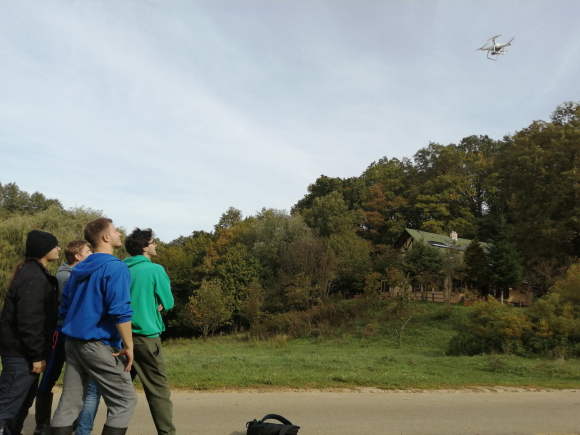
The professional traineeship is a full time professional practice lasting six weeks (8 Cr/S3), in which the acquired geoinformatics skills and knowledge are put into practice at a Hungarian company, office (field data collection, evaluation and spatial data processing) according to an undersigned contract. The summer practice belongs to the Semester3.
Diploma work
From the 3rd semester students start to work on a research project leading to an MSc thesis by the end of the 4th semester. (Diploma work I. 3 credits, Diploma work II. 17 credits). The MSc programme is finished with a final examination. Successful graduates can continue their studies and research in the Geoinformatics PhD program of the Doctoral School of EarthSciences, University of Szeged.
The application is in the SZTE Dream Apply: https://apply.u-szeged.hu/
Application period for the fall semester of the academic year 2026-2027: 1 January -15 May 2026 in Dream ApplyApplication requirements: fully completed and signed application form, BSc degree*from an accredited university or higher education institution in Geoscience and IT or a related field, a demonstrated proficiency in English (TELC/ECL B2, TOEFL IBT – 72, RPDT – 72, Cambridge FC B, IELTS – 5.5, LanguageCert B2 level), copy of passport, 2 recommendation letters from recognised academic persons, recent medical certificate of satisfactory general health status (General Medical Certificate), a CV, a motivational letter, an individual interview (online) and the payment of the non-refundable application fee.
During the application to the programmes of the Faculty of Science and Informatics those applicants are not required to provide the English language exam certificates who are natives of one of the following countries and can officially demonstrate that their academic studies have been conducted in English.
Countries concerned:
- Antigua and Barbuda
- Anguilla
- Australia (also Christmas Island, Norfolk Island, Keeling Islands, Cocos Islands)
- Bahamas
- Barbados
- Belize
- Bermuda
- Botswana
- British Antarctic Territory (also British Antarctica, Antarctica British)
- British Indian Ocean Territory (also Chagos Archipelago, Indian Ocean Territory (British))
- British Virgin Islands
- Canada
- Cayman Islands
- Channel Islands
- Dominica
- Falkland Islands
- Gambia
- Ghana
- Gibraltar
- Grenada
- Guyana
- Irish Republic
- Jamaica
- Kenya
- Lesotho
- Liberia
- Libya
- Malta
- Montserrat
- Namibia
- New Zealand (also Niue, Tokelau, Cokelau, Cook Islands)
- Nigeria
- Rwanda
- Seychelles
- Sierra Leone
- Singapore
- South Africa
- St Kitts and St Nevis
- St Lucia
- St Vincent and the Grenadines
- Tanzania
- Trinidad and Tobago
- Turks and Caicos Islands
- Uganda
- UK
- USA
- Zambia
- Zimbabwe
Start of the programme: September of each year
Application fee: 79 EUR
Entrance Exam fee: 100 EUR
For more information please contact Dr. László Mucsi (program coordinator) via e-mail to mucsi.laszlo@szte.hu or call +36-62-546-397.
*Academic Records: an official English version OR translation of your full bachelor's transcript including an explanation of the grading system, and an official English version OR translation of your bachelor's degree.
Tuition fee refund policy:
Those who are admitted to the Faculty must arrive within maximum 30 days after the official beginning of the study period and complete their enrolment to the university.
The beginning of the study period can be found in the Academic Calendar uploaded to the Faculty website. If they fail to arrive until this deadline, they cannot enrol and cannot start their studies in that particular academic year.
In this case, applicants are entitled for the 50% refund of their tuition fees after submitting a request for the refund until 15 October (in case of fall semester) or until 15 March (in case of spring semester). To this request, the applicants must attach official documentation that proves the reason why they cannot start their studies at the Faculty is visa denial. The proof may be an official letter concerning the rejection.
Other reasons of no-show are not accepted. No refund is possible if requests are submitted after the deadlines above or the appropriate official document is missing.
In case the tuition fee is not refunded, the applicants can start their studies in the semester when the programme is next launched. The entrance exam result is valid for one year after that the applicants have to take a new entrance exam for the admission.
By submitting the application to the Faculty, the above mentioned rules are automatically accepted by the applicant, and are no subject to further negotiations.
| Online application |
6720 Szeged, Aradi vértanúk tere 1.
E-mail (Dean's Office): ttkdh@sci.u-szeged.hu
E-mail (Study Officials): ttikto@sci.u-szeged.hu


